Share Draft Coffs Harbour Northern LGA Flood Study on FacebookShare Draft Coffs Harbour Northern LGA Flood Study on X (formerly Twitter)Share Draft Coffs Harbour Northern LGA Flood Study on LinkedinEmail Draft Coffs Harbour Northern LGA Flood Study link
Consultation has concluded
Thank you to everyone who provided feedback on the draft Coffs Harbour Northern LGA Flood Study.
The study was endorsed by theCouncil on 14 December 2023.
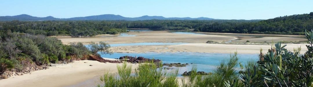
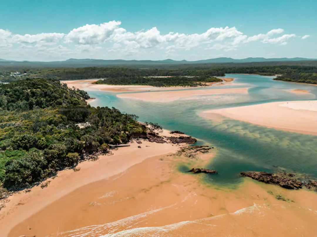
The study looks at the coastal catchments of Corindi River, Arrawarra Creek, Darkum Creek, Willis Creek, Double Crossing Creek (Hearnes Lake) and Fiddamans Creek.
What is the flood study about?
This is the first stage of the floodplain management process. This will help us understand the risk of potential flooding in the local area and assist with future development, planning, community education and mitigation work. Proving the City with a new flood models using the latest modelling, technology and data.
The draft study will help to understand the nature and extent of potential flooding from Corindi River, Arrawarra Creek, Darkum Creek, Willis Creek, Double Crossing Creek (Hearnes Lake) and Fiddamans Creek. Villages in the study area include Corindi Beach, Red Rock, Arrawarra Safety Beach, Sandy Beach, Emerald Beach (see map).
In February 2021 there was a significant rainfall event larger than previously observed within the Corindi River Catchment. Data collected from this flood event formed a key part of the calibration of this flood model. The new flood models developed for the Corindi River and Arrawarra Creek aligns to the observed levels in the 2012 and 2021 flood events.
Thank you to everyone who provided feedback on the draft Coffs Harbour Northern LGA Flood Study.
The study was endorsed by theCouncil on 14 December 2023.
The study looks at the coastal catchments of Corindi River, Arrawarra Creek, Darkum Creek, Willis Creek, Double Crossing Creek (Hearnes Lake) and Fiddamans Creek.
What is the flood study about?
This is the first stage of the floodplain management process. This will help us understand the risk of potential flooding in the local area and assist with future development, planning, community education and mitigation work. Proving the City with a new flood models using the latest modelling, technology and data.
The draft study will help to understand the nature and extent of potential flooding from Corindi River, Arrawarra Creek, Darkum Creek, Willis Creek, Double Crossing Creek (Hearnes Lake) and Fiddamans Creek. Villages in the study area include Corindi Beach, Red Rock, Arrawarra Safety Beach, Sandy Beach, Emerald Beach (see map).
In February 2021 there was a significant rainfall event larger than previously observed within the Corindi River Catchment. Data collected from this flood event formed a key part of the calibration of this flood model. The new flood models developed for the Corindi River and Arrawarra Creek aligns to the observed levels in the 2012 and 2021 flood events.
Please complete this form to provide feedback on the Draft Northern LGA Flood Study
Submissions close 5pm on Friday 16 June 2023.
Writing a submission is one way of sharing your views and opinions with Council. All submissions are considered before making a decision and your submission may be included in a report to Council.