Middle Creek Flood Study and Floodplain Risk Management Plan Review
Share Middle Creek Flood Study and Floodplain Risk Management Plan Review on Facebook
Share Middle Creek Flood Study and Floodplain Risk Management Plan Review on Twitter
Share Middle Creek Flood Study and Floodplain Risk Management Plan Review on Linkedin
Email Middle Creek Flood Study and Floodplain Risk Management Plan Review link
Public Exhibition Closed
Project Overview
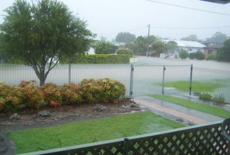
We are reviewing the Flood Study and Floodplain Risk Management Plan for the Middle Creek catchment.
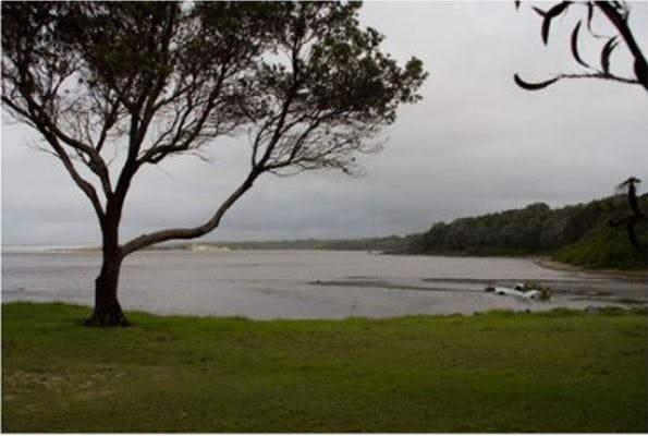
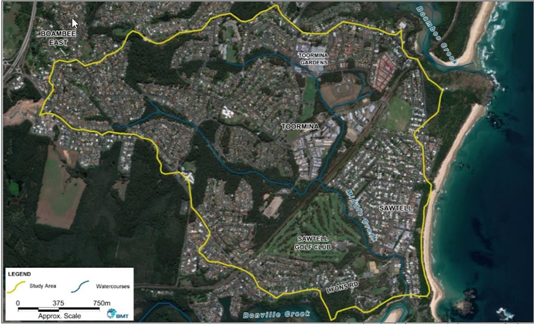
This study will provide a better understanding of flooding in the catchment and how best to manage these flood risks into the future. The Middle Creek catchment encompasses the suburbs of Sawtell, Toormina and Boambee East.
This study will improve the accuracy and resolution of Councils existing flood mapping by making use of recently available high resolution topographic data in conjunction with best practice flood modelling software.
This mapping will be used to identify flood risks and possible flood mitigation options.
Public Exhibition Closed